Drivers of Land Use/Land Cover Dynamics in the Ecuadorian Amazon
(Factores que Contribuyen con la Dinámica del Uso de la Tierra en la Amazonía Ecuatoriana)
Date: June 10, 2004
Sponsored By:
University of North Carolina at Chapel Hill
Carolina Population Center
Departments of Biostatistics and Geography
In Association with Ecuadorian Project Collaborators: Ecociencia & CEPAR
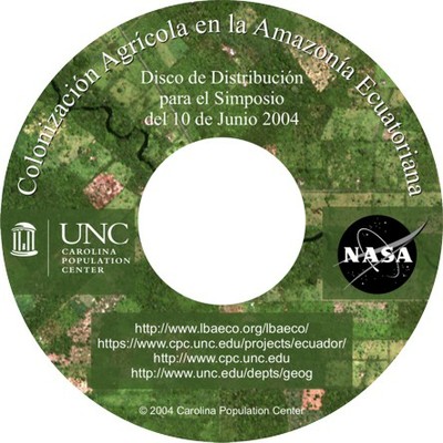
On June 10, 2004, the UNC-Chapel Hill Ecuador-NASA Project Team, led by Co-PIs Richard E. Bilsborrow and Stephen J. Walsh, presented research findings associated with the NASA Ecology-LBA Phase I and Phase II projects funded to Bilsborrow and Walsh through the NASA Land Cover/Land Use Change Program, Dr. Garik Gutman, Program Manager. The half day Symposium was presented at the Hotel Quito to Ecuadorian government officials, non-government organizations, university faculty and students, consultant groups, and other interested parties. Nearly 100 participants heard presentations from the UNC Project Team, viewed power-point graphics, and received a CD-ROM of selected project papers (abstracts translated into Spanish), data sets, maps, and contact information of project team members and the UNC Ecuador and NASA Project web sites.

The Symposium provided a science briefing and discussion on the following projects topics:
- goals and objectives of the NASA-funded, UNC-Chapel Hill research (Carolina Population Center and the Department of Geography and Biostatistics) collectively described as “Drivers of Land Use/Land Cover Dynamics and Spatial Pattern in the Ecuadorian Amazon Frontier”
- design, collection, and interpretation of data from a longitudinal socio-economic and demographic survey of colonists in 1990 and 1999
- remote sensing and image processing for land use/cover characterization and change-detections
- landscape ecology principles and project frameworks
- database development and GIS analyses
- statistical models of land use/cover dynamics
- models of deforestation and secondary forest succession
- complexity theory and spatial simulations of land use/cover
- selected findings from derived statistical models, household surveys, remote sensing and GIS analyses, landuse/cover change studies, and spatial models and land use/cover simulations
- selected topics of active research
- contact information, acknowledgements, and names and affiliations of US and Ecuadorian project collaborators
The Symposium generated considerable discussion about analytical methods, data integration; stakeholder groups in the northern Ecuadorian Amazon, particularly communities, petroleum interests, and indigenous groups; policy implications; and directions of subsequent analyses. The Symposium was followed by a reception and additional discussion.
