The basis for spatial analysis in this project revolves around the ability to link spatial and non-spatial data within a Geographic Information System (GIS). As an inherently aspatial project at its inception in 1990, the incorporation of a spatial component in 1999 added a new and exciting dimension to this longitudinal study. The first step in the spatial process was the development of a database of digital geographic (also referred to as geospatial or simply spatial) data. After the database was built, analyses could commence.
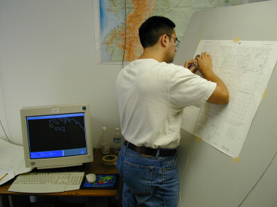
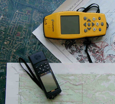
Given the complete lack of any available digital geographic data for this region, our entire database had to be developed from the ground up. There were (and still are) three key components to the capture and creation of spatial data in this project: topographic maps, remotely sensed satellite imagery and aerial photographs, and the Global Positioning System (GPS). These three components provided us with the foundation for generating nearly all of our base spatial data. The medium-resolution satellite imagery gives us a region-wide view of the study area over the course of three decades, while the high-resolution satellite imagery and aerial photos give us a finer detailed look at the ground. The Global Positioning System allowed us to capture accurate coordinates for households, land parcel boundaries, community centers, areas of land use and land cover (LULC), and other features of interest. And the topographic maps filled in the remaining gaps by allowing us to digitize roads, rivers, town locations, and elevation contours.
The end result is a robust database containing vector and raster GIS data, satellite imagery, scanned air photos, and non-spatial survey data. Through the use of GIS software, we have been able to execute a wide variety of analyses on this database in order to explore our many questions regarding the interaction of socio-economic and demographic (SED) variables and LULC change.
The Spatial Analysis component of this website contains many pages with information on the spatial side of the CPC Ecuador Projects. Use the sidebar on the left to navigate to these pages for more information on the GIS analyses, the collection and utilization of GPS data, remote sensing processing and analyses, creation and use of survey instruments and sketch maps, and cellular automata (CA) modeling. Other pages contain a detailed description of the spatial database, a list of metadata for all of our data sets, and a data distribution page.